Developed by

EcoAssess

Loading the assessment map...

EcoAssess
EcoAssessEnvironmental desktop screening
v0.55 · beta Queensland by BioGeo
📍No study area
✨ Map tools live here
Compare imagery, profile elevation, mask your site and more — all in one menu.
Imagery & land cover over time
Year 2024
Digital Earth Australia / Geoscience Australia · Landsat 30 m, cloud-free annual
Elevation profile
Swipe compare ⇅ Top / Bottom
LayerTopBottom
Tick a side to show a layer there. Both = whole map. Drag the divider to compare.
Ready — draw a study area to begin
Welcome to EcoAssess BETA
Environmental desktop screening — Queensland

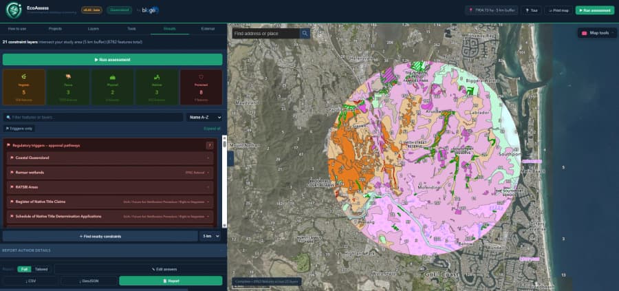
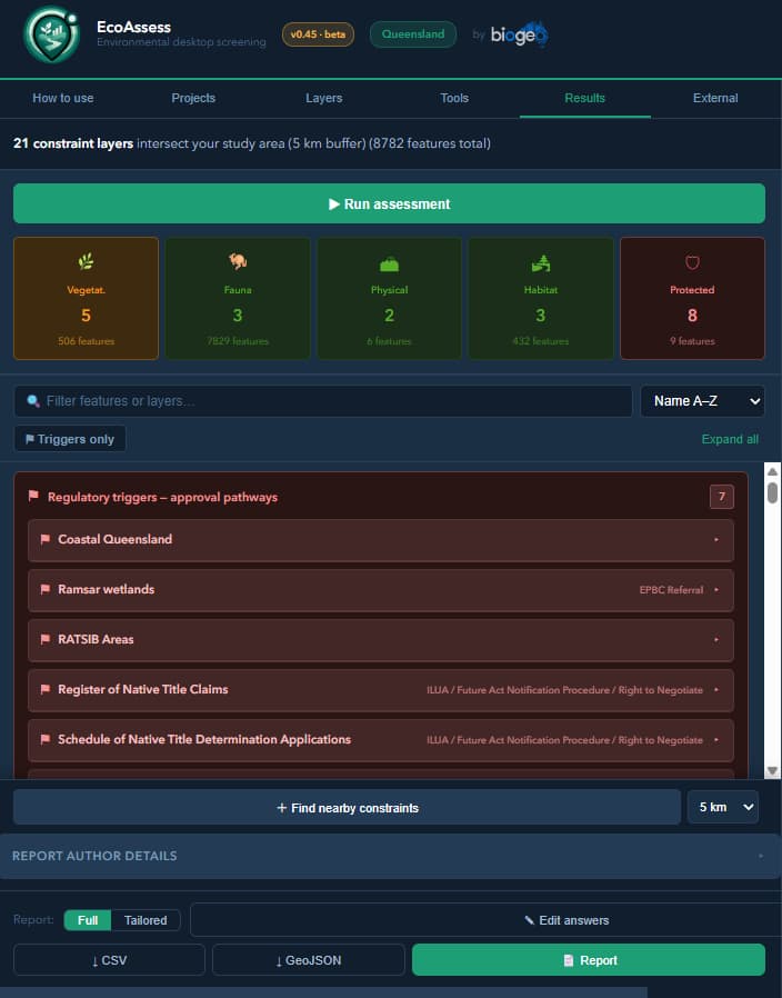
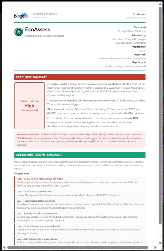
EcoAssess screens a site for ecological and environmental constraints — regulated vegetation, regional ecosystems, threatened species, protected areas, and statutory approval triggers — using data queried live from Queensland and Commonwealth government services.

📺 Step-by-step how-to videos showcasing the advanced tools are coming in a future release.
This is a beta version — results are indicative only and must be verified against the relevant data custodians.
Developed by
🗺
Create a report-ready mapYou choose the content — EcoAssess formats it like a pro GIS map.
💡The map captures the current view and the layers you have turned on. Pan, zoom and toggle layers on the map first, then generate.
PNG or JPG — appears in the title block. A transparent PNG looks best.
Drives the header band, accents and labels on the map — set it to your brand or your client's.
Label + value pairs printed under “Project details” — e.g. Project name → ABC Review. Blank rows are skipped.
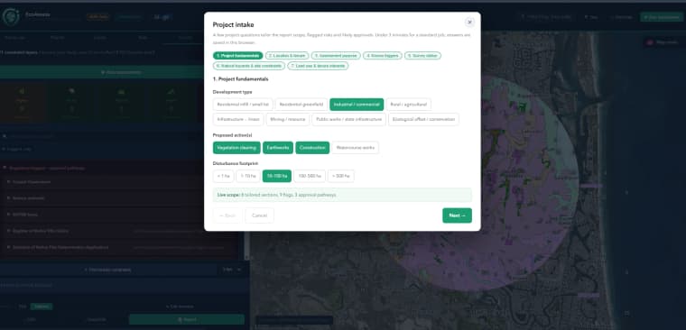
Project intake
A few project questions tailor the report scope, flagged risks and likely approvals. Under 3 minutes for a standard job; answers are saved in this browser.
Report: